Autonavi Maps has achieved the world’s largest lane-level navigation coverage
Financial Investment Network News (Reporter, Liu Min)Recently, Autonavi Maps announced its lane-level navigation services based on Beidou satellite navigation system, deep learning model, inertial navigation, ubiquitous signal and other cutting-edge technologies, which have now supported more than 99% of urban and township roads in China.
This means that from now on, users can enjoy this high-tech intensive and immersive new generation of navigation products when driving, whether in cities or towns, whether on expressways or ordinary road sections. And this is the largest lane-level navigation service in the world so far.
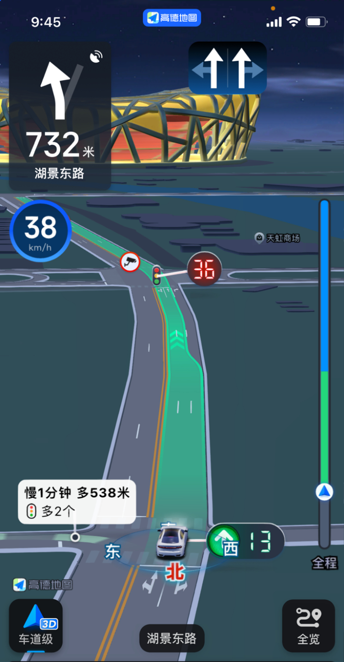
As an information service with a long history, navigation products have been in the market for more than 20 years. After many iterations of technology and product models, they have become an indispensable part of people’s lives. As a leading provider of digital map content, navigation and location-based service solutions, Autonavi Maps has been committed to applying various technological innovations, especially domestic and self-developed high-tech, to civilian transportation for many years to provide a better travel experience. Lane-level navigation is a typical case, and it is even in a leading position globally. For example, since 2020, the Autonavi map has been based on the Beidou satellite navigation system, combined with the correction information of the reference station, and after integration and calculation, it has realized the lane-level positioning of some cities and roads, achieving the first landing of this technology on the smartphone side, becoming a typical application of Beidou, a domestic high-tech in the field of civilian travel.
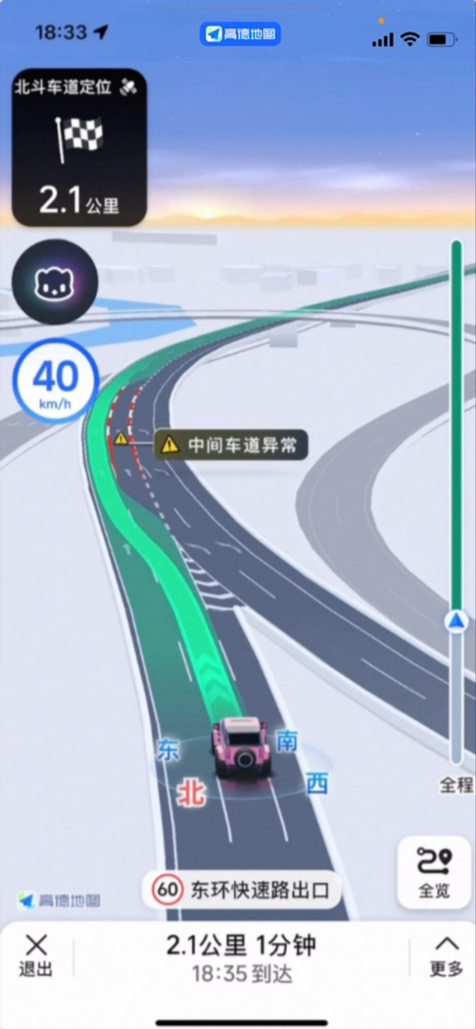
Nowadays, the Autonavi map further realizes lane-level traffic incident warnings and prompts, including abnormal road occupation, sudden braking or slow driving of the front car, and incoming cars at the entrance, etc., so that users can understand the safety hazard information of the lane level as soon as possible.
There is also a deep application of today’s most popular artificial intelligence technology – Autonavi’s self-developed deep learning model, which can realize 3D automated modeling of the whole road network integration, and realize the fully automated three-dimensional mapping of building roads, natural environments, urban landmarks and other elements in the Autonavi map in a batch and large-scale manner unprecedented in the industry; while AI dynamic vision technology based on massive data calculation training and driver-oriented human factors engineering can dynamically adjust the navigation screen closer to the driving perspective according to the current location and road shape, and build a digital world that combines virtual and real, allowing users to quickly correspond what they actually see with the navigation screen during the navigation process, and harvest what they see is what they get "seconds Understand "experience.
Now that lane-level navigation has basically completed the national road coverage, AutoNavi has achieved the achievement of applying AI automated modeling technology to build the largest digital map globally.
In addition, Autonavi’s lane-level navigation also contains a series of technologies to optimize the navigation experience: inertial navigation, which integrates multi-metadata data such as accelerometers, gyroscopes, and magnetometers to build algorithms, helps users ensure the coherence of navigation even in the case of satellite signal occlusion; and ubiquitous signal technology, which can simultaneously process signals from cellular networks, Wi-Fi hotspots, and even surrounding environmental features, transforming them into additional positioning clues to achieve positioning continuity in the process of high-speed navigation; there is also over-the-horizon technology, which can automatically handle road and building occlusion relationships, perform perspective rendering in real time, and refine the navigation experience as much as possible from a detailed and user-friendly perspective.
At present, Autonavi lane-level navigation supports most mainstream mobile phones. Just upgrade the Autonavi Map APP to the latest version to experience the service during driving navigation without additional settings.
In the future, Autonavi Maps will also continue to improve in the field of high-end technology and apply it to the mobility services that everyone needs in daily life – connecting to the real world, creating more technology products such as lane-level navigation, and making a living map.